Redhot Mapping
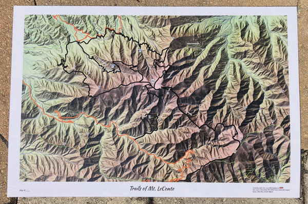
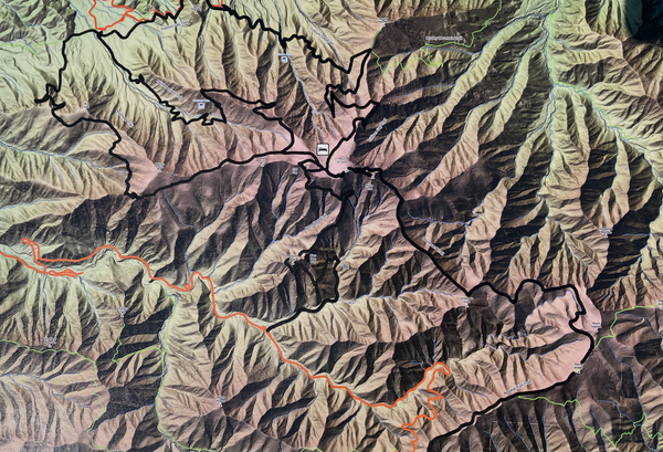
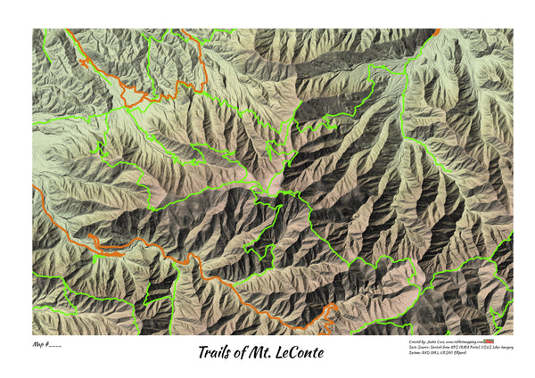
Smokies Mt. LeConte Lidar Special 12"x18"
Details
- Each trail is beautifully hand painted
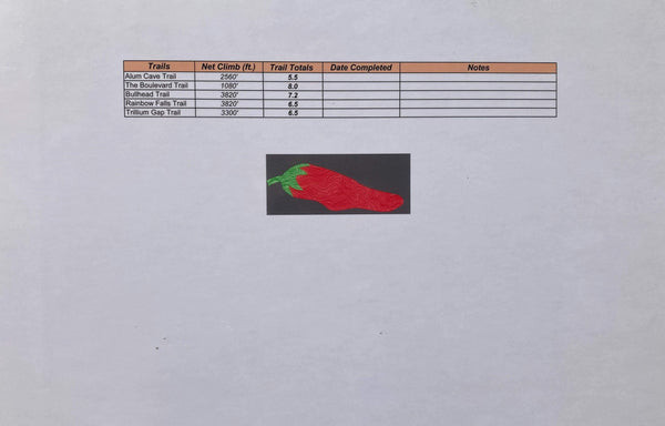
- Back of map contains trails, dates, and notes column
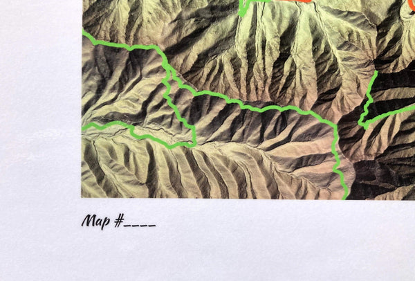
- Write in map number on front, bottom left for the first timer or returning veteran
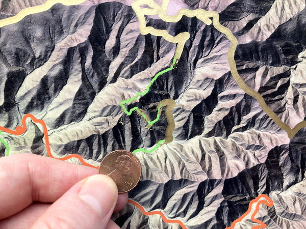
- Two styles: Scratch Off and Not Scratch
Tech Specs
-
Size: 12" x 18"
-
Laminated flush trim
- 1 ultra fine permanent marker per map
- **Coin for scratching and extra acrylic paint NOT included**
Data Sources
-
Ancillary datasets (trails, roads, boundary) were sourced at NPS Irma Portal for Smokies NP
-
Most up to date topographic hillshade relief using state of the art lidar technology from USGS (Projects were flown by various agencies in 2015,2016, and 2017). 12/24/2019 NPS Published Date. Other ancillary datasets (trails, roads, boundary) were found at NPS Irma Portal.
Regular price
$12.99
Taxes and shipping calculated at checkout
- choosing a selection results in a full page refresh
- Opens in a new window.
- Opens external website in a new window.


